High spatio-temporal resolution climate models leveraging high-performance computing for forecasting applications in the in the energy, insurance and financial service markets

Viridien Climate Modeling| Call for Partners
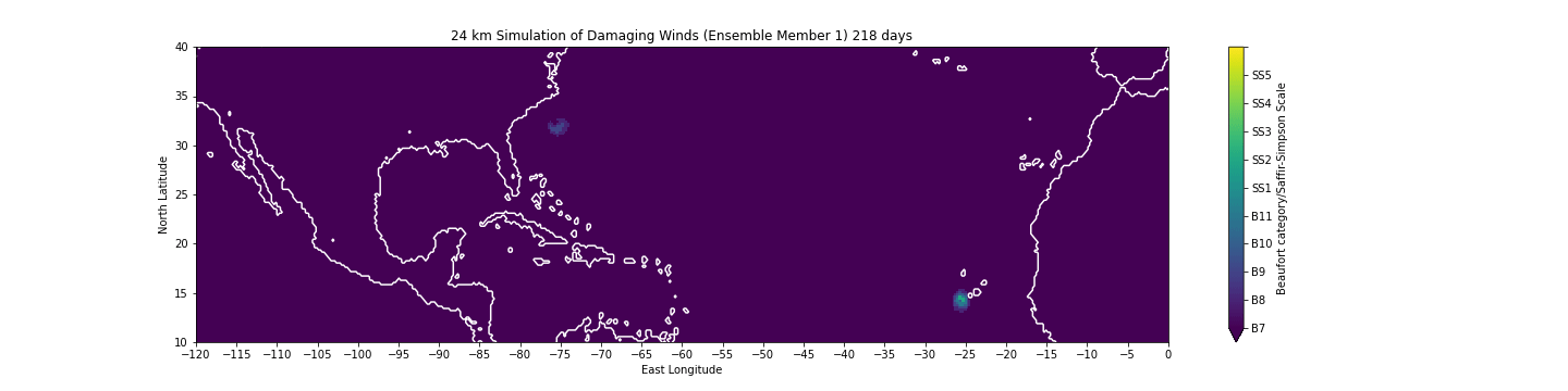
A Viridien year-long simulation at 24 km resolution showing a period with one long-lived hurricane and several weaker, shorter-lived hurricanes and tropical storms.
Viridien develops full-complexity, physics-based climate models and products tailored to support risk management.
Our global model - how does it work?
Our global, Earth systems model (ESM) is designed to represent the climate system at a similar fidelity to the models used for climate change projections but at the same resolution as the numerical weather prediction models that help make weather forecasts.
Our ESM model provides forecasts for up to two years ahead and can help you create a view of risk specific to the year ahead, or, run in tandem with a climate change projection, can bring narrative detail to your physical risk scenarios.
Our model can simulate most of the Earth at one resolution and also focus on a particular area to provide the same level of detail as a weather radar or satellite
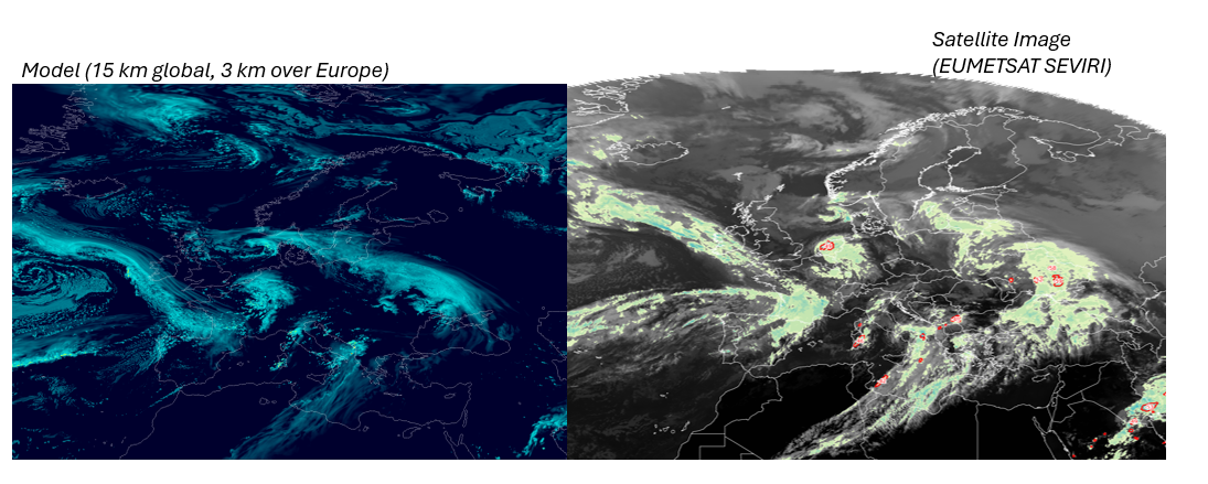
A Viridien model radar image simulation (left) compared with a satellite image from the same time.
We are currently looking for partners to demonstrate how Viridien climate forecasts can positively transform their approach to risk modeling and management.
Register your interest by completing the form below.
Learn more about Viridien climate and environmental data & expertise
Natural Insights. Keep nature in the center of decision-making with our integrated geospatial intelligence platform, enabling customizable interrogation of a broad suite of data.
Environmental Data Intelligence. Gain a holistic view of land usage and site suitability for renewable energy projects and nature based solutions with environmental data and analytics workflows.
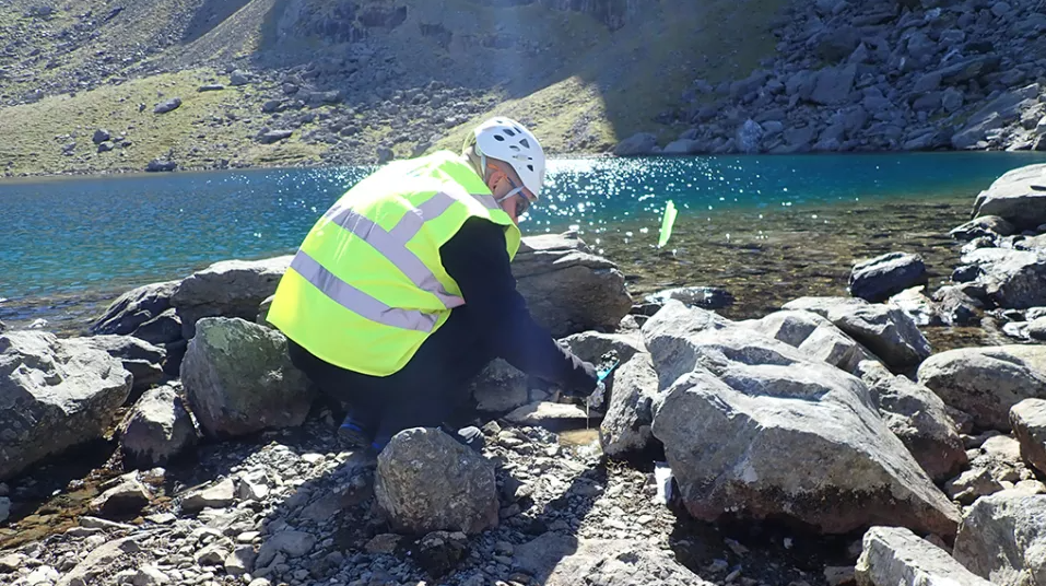
Mobilizing to Monitor Microplastics on Snowdon (Yr Wyddfa). Scientists at Viridien’s Laboratories are using new analysis techniques to support greater environmental awareness.